
Singhara topographic map
Interactive map
Click on the map to display elevation.
About this map
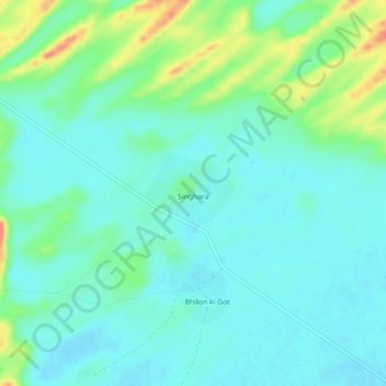
Name: Singhara topographic map, elevation, terrain.
Location: Singhara, Tharparkar District, Sindh, Pakistan (24.77247 70.29997 24.81247 70.33997)
Average elevation: 279 ft
Minimum elevation: 236 ft
Maximum elevation: 404 ft