
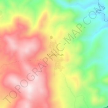
Ahuacatitlán topographic map
Interactive map
Click on the map to display elevation.
About this map
Name: Ahuacatitlán topographic map, elevation, terrain.
Location: Ahuacatitlán, Teloloapan, Guerrero, México (18.35556 -99.84194 18.39556 -99.80194)
Average elevation: 5,213 ft
Minimum elevation: 4,094 ft
Maximum elevation: 6,214 ft