
Tudeley topographic map
Interactive map
Click on the map to display elevation.
About this map
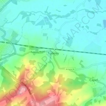
Name: Tudeley topographic map, elevation, terrain.
Location: Tudeley, Kent, South East, England, TN11 0NS, United Kingdom (51.16563 0.29685 51.20563 0.33685)
Average elevation: 141 ft
Minimum elevation: 36 ft
Maximum elevation: 423 ft