
Luhri topographic map
Interactive map
Click on the map to display elevation.
About this map
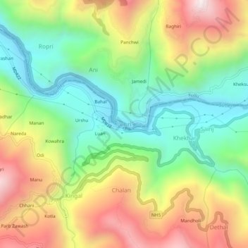
Name: Luhri topographic map, elevation, terrain.
Location: Luhri, Ani, Kullu, Himachal Pradesh, 172001, India (31.32092 77.40885 31.36092 77.44885)
Average elevation: 3,848 ft
Minimum elevation: 2,493 ft
Maximum elevation: 5,712 ft