
Monte Oliveto topographic map
Interactive map
Click on the map to display elevation.
About this map
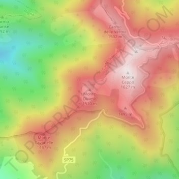
Name: Monte Oliveto topographic map, elevation, terrain.
Location: Monte Oliveto, Bajardo, IM, Liguria, 18031, Italy (43.93564 7.75129 43.93574 7.75139)
Average elevation: 3,996 ft
Minimum elevation: 2,382 ft
Maximum elevation: 5,282 ft