
Lodge Grass topographic map
Interactive map
Click on the map to display elevation.
About this map
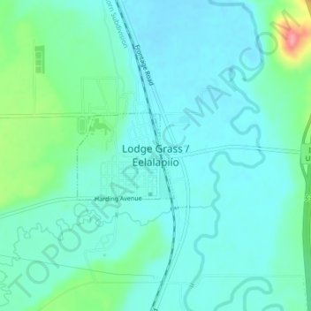
Name: Lodge Grass topographic map, elevation, terrain.
Location: Lodge Grass, Big Horn County, Montana, United States (45.31076 -107.37335 45.31829 -107.36135)
Average elevation: 3,406 ft
Minimum elevation: 3,340 ft
Maximum elevation: 3,658 ft