
Pamiers topographic map
Interactive map
Click on the map to display elevation.
About this map
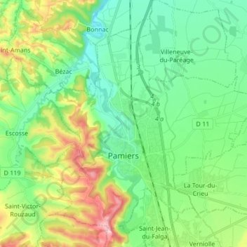
Name: Pamiers topographic map, elevation, terrain.
Location: Pamiers, Ariège, Occitania, Metropolitan France, 09100, France (43.08549 1.54901 43.16959 1.68445)
Average elevation: 1,030 ft
Minimum elevation: 794 ft
Maximum elevation: 1,585 ft