
Hengdian topographic map
Interactive map
Click on the map to display elevation.
About this map
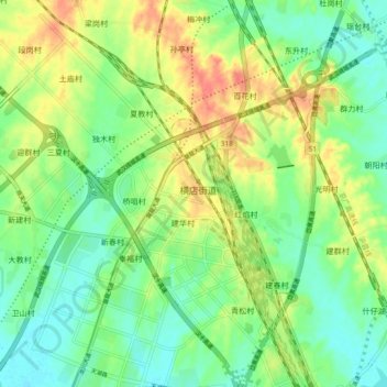
Name: Hengdian topographic map, elevation, terrain.
Location: Hengdian, Huangpi District, Wuhan City, Hubei, China (30.76493 114.25257 30.84493 114.33257)
Average elevation: 118 ft
Minimum elevation: 52 ft
Maximum elevation: 213 ft