
Shrivardhan Taluka topographic map
Interactive map
Click on the map to display elevation.
About this map
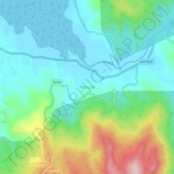
Name: Shrivardhan Taluka topographic map, elevation, terrain.
Location: Shrivardhan Taluka, Kulāba, Raigad, Maharashtra, 402105, India (18.11202 73.08679 18.15202 73.12679)
Average elevation: 259 ft
Minimum elevation: -3 ft
Maximum elevation: 955 ft