
Ziveh topographic map
Interactive map
Click on the map to display elevation.
About this map
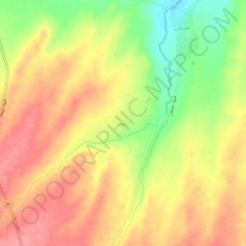
Name: Ziveh topographic map, elevation, terrain.
Average elevation: 6,089 ft
Minimum elevation: 5,912 ft
Maximum elevation: 6,204 ft
Other topographic maps
Click on a map to view its topography, its elevation and its terrain.
Ziveh
Iran > Kurdistan Province > Ziveh
Ziveh, بخش کرانی, Bijar County, Kurdistan Province, Iran
Average elevation: 5,089 ft