
Tamanbaru topographic map
Interactive map
Click on the map to display elevation.
About this map
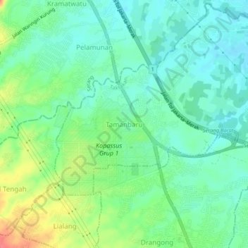
Name: Tamanbaru topographic map, elevation, terrain.
Location: Tamanbaru, Serang, Banten, 42112, Indonesia (-6.10585 106.10696 -6.06585 106.14696)
Average elevation: 85 ft
Minimum elevation: 23 ft
Maximum elevation: 217 ft