
Willard topographic map
Interactive map
Click on the map to display elevation.
About this map
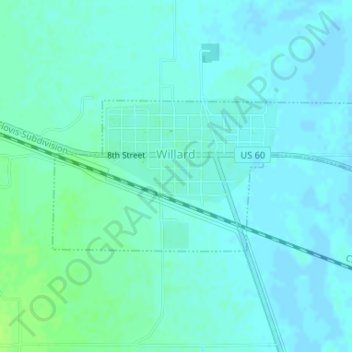
Name: Willard topographic map, elevation, terrain.
Location: Willard, Torrance County, New Mexico, United States (34.58857 -106.04520 34.60015 -106.01422)
Average elevation: 6,102 ft
Minimum elevation: 6,089 ft
Maximum elevation: 6,125 ft