
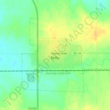
Selby topographic map
Interactive map
Click on the map to display elevation.
About this map
Name: Selby topographic map, elevation, terrain.
Location: Selby, Walworth County, South Dakota, United States (45.49795 -100.04373 45.51607 -100.02206)
Average elevation: 1,893 ft
Minimum elevation: 1,847 ft
Maximum elevation: 1,936 ft