
Baddegama topographic map
Interactive map
Click on the map to display elevation.
About this map
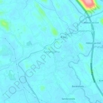
Name: Baddegama topographic map, elevation, terrain.
Location: Baddegama, Galle District, Southern Province, 80333, Sri Lanka (6.15248 80.15792 6.19248 80.19792)
Average elevation: 36 ft
Minimum elevation: -3 ft
Maximum elevation: 463 ft