
Amity Point topographic map
Interactive map
Click on the map to display elevation.
About this map
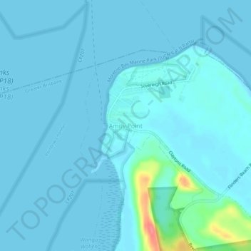
Name: Amity Point topographic map, elevation, terrain.
Location: Amity Point, Queensland, Australia (-27.42139 153.42113 -27.38139 153.46113)
Average elevation: 20 ft
Minimum elevation: -3 ft
Maximum elevation: 236 ft