
Amstelveen topographic map
Interactive map
Click on the map to display elevation.
About this map
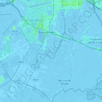
Name: Amstelveen topographic map, elevation, terrain.
Location: Amstelveen, North Holland, Netherlands (52.24187 4.79455 52.33057 4.90915)
Average elevation: -7 ft
Minimum elevation: -26 ft
Maximum elevation: 36 ft