
El Guetar topographic map
Interactive map
Click on the map to display elevation.
About this map
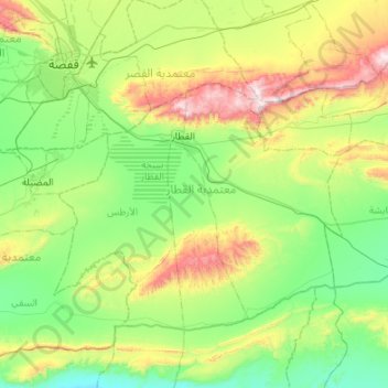
Name: El Guetar topographic map, elevation, terrain.
Location: El Guetar, Gafsa, Tunisie (34.11579 8.77102 34.42918 9.30990)
Average elevation: 1,145 ft
Minimum elevation: 151 ft
Maximum elevation: 3,766 ft
Other topographic maps
Click on a map to view its topography, its elevation and its terrain.