
Quechee topographic map
Interactive map
Click on the map to display elevation.
About this map
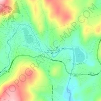
Name: Quechee topographic map, elevation, terrain.
Location: Quechee, Windsor County, Vermont, 05059, USA (43.62619 -72.43843 43.66619 -72.39843)
Average elevation: 755 ft
Minimum elevation: 423 ft
Maximum elevation: 1,296 ft