
Pico Pijol topographic map
Interactive map
Click on the map to display elevation.
About this map
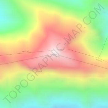
Name: Pico Pijol topographic map, elevation, terrain.
Location: Pico Pijol, Yoro, Honduras (15.17615 -87.57388 15.17625 -87.57378)
Average elevation: 6,227 ft
Minimum elevation: 4,885 ft
Maximum elevation: 7,503 ft
Other topographic maps
Click on a map to view its topography, its elevation and its terrain.