
Parc National de Zakouma topographic map
Interactive map
Click on the map to display elevation.
About this map
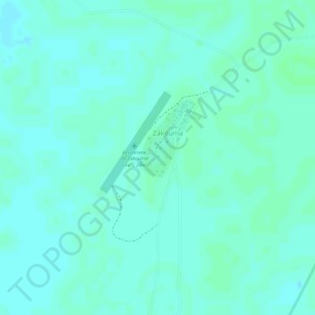
Name: Parc National de Zakouma topographic map, elevation, terrain.
Location: Parc National de Zakouma, Am Timan, Salamat, Tchad (10.88956 19.81943 10.88966 19.81953)
Average elevation: 1,368 ft
Minimum elevation: 1,355 ft
Maximum elevation: 1,375 ft