
Colt topographic map
Interactive map
Click on the map to display elevation.
About this map
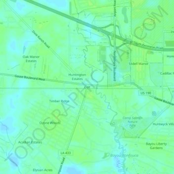
Name: Colt topographic map, elevation, terrain.
Location: Colt, St. Tammany Parish, Louisiana, 70460, United States (30.28147 -89.85318 30.32147 -89.81318)
Average elevation: 20 ft
Minimum elevation: 3 ft
Maximum elevation: 36 ft