
St Arvans topographic map
Interactive map
Click on the map to display elevation.
About this map
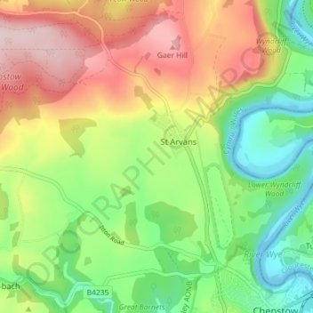
Name: St Arvans topographic map, elevation, terrain.
Location: St Arvans, Monmouthshire, Wales, United Kingdom (51.64206 -2.73643 51.68352 -2.66492)
Average elevation: 404 ft
Minimum elevation: -26 ft
Maximum elevation: 928 ft