
Chithara topographic map
Interactive map
Click on the map to display elevation.
About this map
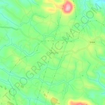
Name: Chithara topographic map, elevation, terrain.
Location: Chithara, Kottarakkara, Kollam, Kerala, 691559, India (8.79471 76.94667 8.83471 76.98667)
Average elevation: 522 ft
Minimum elevation: 279 ft
Maximum elevation: 968 ft
Other topographic maps
Click on a map to view its topography, its elevation and its terrain.
Kadakkal
India > Kerala > Kottarakkara
Kadakkal, Kottarakkara, Kollam, Kerala, 691536, India
Average elevation: 420 ft