
False River topographic map
Interactive map
Click on the map to display elevation.
About this map
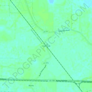
Name: False River topographic map, elevation, terrain.
Location: False River, Pointe Coupee Parish, Louisiana, 70732, USA (30.55047 -91.61289 30.59047 -91.57289)
Average elevation: 26 ft
Minimum elevation: 10 ft
Maximum elevation: 39 ft