
White River National Forest topographic map
Interactive map
Click on the map to display elevation.
About this map
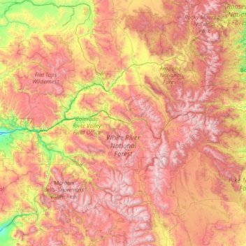
Name: White River National Forest topographic map, elevation, terrain.
Location: White River National Forest, Colorado, United States (38.97811 -108.15819 40.25037 -105.77582)
Average elevation: 9,121 ft
Minimum elevation: 4,829 ft
Maximum elevation: 14,347 ft