
Bačka topographic map
Interactive map
Click on the map to display elevation.
About this map
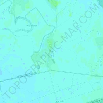
Name: Bačka topographic map, elevation, terrain.
Location: Bačka, Region of Košice, Eastern Slovakia, 076 84, Slovakia (48.42144 22.03150 48.46144 22.07150)
Average elevation: 331 ft
Minimum elevation: 325 ft
Maximum elevation: 344 ft