
Lago topographic map
Interactive map
Click on the map to display elevation.
About this map
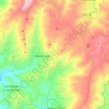
Name: Lago topographic map, elevation, terrain.
Location: Lago, CS, CAL, Italia (39.11694 16.10945 39.21948 16.20998)
Average elevation: 2,280 ft
Minimum elevation: 144 ft
Maximum elevation: 4,997 ft