
Bhandewadi topographic map
Interactive map
Click on the map to display elevation.
About this map
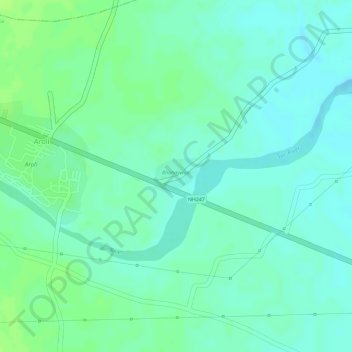
Name: Bhandewadi topographic map, elevation, terrain.
Location: Bhandewadi, Mauda Taluka, Nagpur District, Maharashtra, India (21.32161 79.45108 21.32443 79.45514)
Average elevation: 938 ft
Minimum elevation: 919 ft
Maximum elevation: 958 ft