
Adrar topographic map
Interactive map
Click on the map to display elevation.
About this map
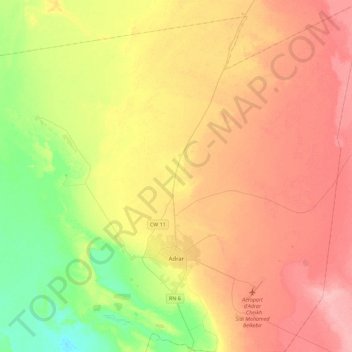
Name: Adrar topographic map, elevation, terrain.
Location: Adrar, Adrar District, Adrar, Algeria (27.76749 -0.33369 28.16506 -0.04751)
Average elevation: 843 ft
Minimum elevation: 679 ft
Maximum elevation: 1,001 ft