
Warndon topographic map
Interactive map
Click on the map to display elevation.
About this map
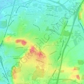
Name: Warndon topographic map, elevation, terrain.
Average elevation: 171 ft
Minimum elevation: 92 ft
Maximum elevation: 315 ft
Other topographic maps
Click on a map to view its topography, its elevation and its terrain.
Sanctuary Park
United Kingdom > England > Worcester
Sanctuary Park, St John's, Worcester, Worcestershire, West Midlands, England, United Kingdom
Average elevation: 89 ft
Worcester
United Kingdom > England > Worcester
Worcester, Worcestershire, West Midlands, England, United Kingdom
Average elevation: 125 ft