
Vennenberg topographic map
Interactive map
Click on the map to display elevation.
About this map
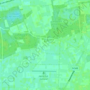
Name: Vennenberg topographic map, elevation, terrain.
Location: Vennenberg, Overijssel, Nederland, 7722JC, Nederland (52.45953 6.31309 52.49953 6.35309)
Average elevation: 20 ft
Minimum elevation: 3 ft
Maximum elevation: 30 ft