
High Ridge topographic map
Interactive map
Click on the map to display elevation.
About this map
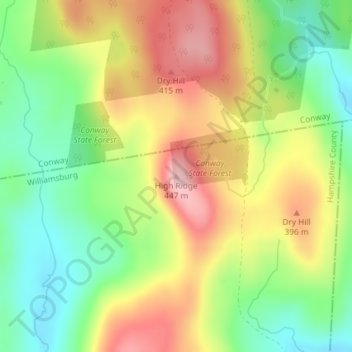
Name: High Ridge topographic map, elevation, terrain.
Location: High Ridge, Williamsburg, Hampshire, Massachusetts, USA (42.44865 -72.71820 42.44875 -72.71810)
Average elevation: 1,099 ft
Minimum elevation: 801 ft
Maximum elevation: 1,444 ft