
Vandenberg Village topographic map
Interactive map
Click on the map to display elevation.
About this map
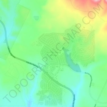
Name: Vandenberg Village topographic map, elevation, terrain.
Average elevation: 371 ft
Minimum elevation: 135 ft
Maximum elevation: 860 ft
Other topographic maps
Click on a map to view its topography, its elevation and its terrain.
Vandenberg AFB
United States > California > Vandenberg Village
Vandenberg AFB, L Street, Santa Barbara County, California, 93437, United States
Average elevation: 407 ft