
Rock Canyon topographic map
Interactive map
Click on the map to display elevation.
About this map
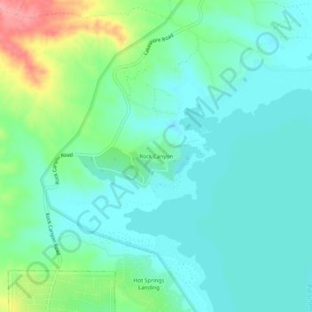
Name: Rock Canyon topographic map, elevation, terrain.
Location: Rock Canyon, Sierra County, New Mexico, 86935, USA (33.20368 -107.22948 33.24368 -107.18948)
Average elevation: 4,485 ft
Minimum elevation: 4,403 ft
Maximum elevation: 4,731 ft