
Agua Amarga topographic map
Interactive map
Click on the map to display elevation.
About this map
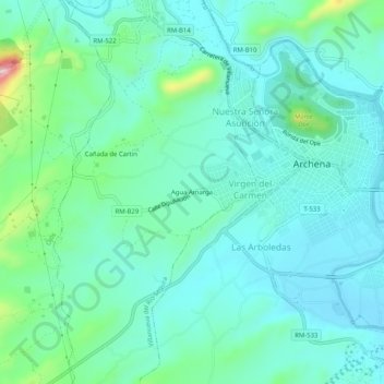
Name: Agua Amarga topographic map, elevation, terrain.
Location: Agua Amarga, Valle de Ricote, Murcia, 30600, España (38.09489 -1.33843 38.13489 -1.29843)
Average elevation: 466 ft
Minimum elevation: 282 ft
Maximum elevation: 1,207 ft