
Macleay Island topographic map
Interactive map
Click on the map to display elevation.
About this map
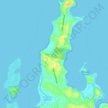
Name: Macleay Island topographic map, elevation, terrain.
Location: Macleay Island, Redland City, Queensland, 4184, Australia (-27.62299 153.33510 -27.58299 153.37510)
Average elevation: 10 ft
Minimum elevation: -3 ft
Maximum elevation: 98 ft