
Corinth topographic map
Interactive map
Click on the map to display elevation.
About this map
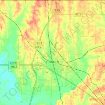
Name: Corinth topographic map, elevation, terrain.
Location: Corinth, Alcorn County, Mississippi, United States (34.89067 -88.57677 34.99599 -88.46036)
Average elevation: 466 ft
Minimum elevation: 371 ft
Maximum elevation: 574 ft