
Archbach topographic map
Interactive map
Click on the map to display elevation.
About this map
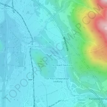
Name: Archbach topographic map, elevation, terrain.
Location: Archbach, Pflach, Reutte (Außerfern), Tirol, 6600, Österreich (47.50561 10.72629 47.50697 10.73191)
Average elevation: 3,002 ft
Minimum elevation: 2,710 ft
Maximum elevation: 4,511 ft