
Stokkem topographic map
Interactive map
Click on the map to display elevation.
About this map
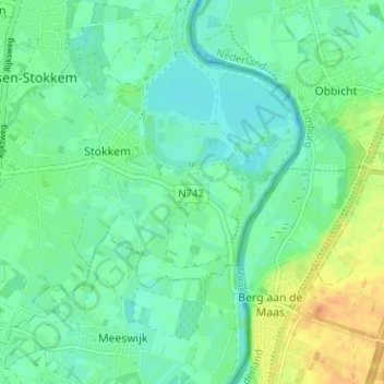
Name: Stokkem topographic map, elevation, terrain.
Location: Stokkem, Molenveld, Maaseik, Limburg, Vlaanderen, 3650, België (50.99647 5.73833 51.03647 5.77833)
Average elevation: 118 ft
Minimum elevation: 82 ft
Maximum elevation: 197 ft