
Mainling County topographic map
Interactive map
Click on the map to display elevation.
About this map
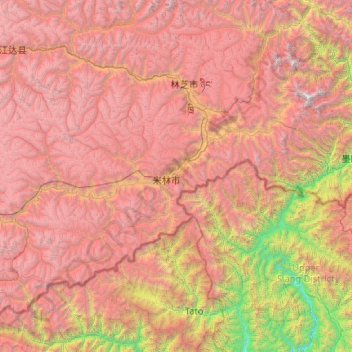
Name: Mainling County topographic map, elevation, terrain.
Location: Mainling County, Nyingchi City, Tibet, PRC (28.65453 93.13192 29.81222 95.21524)
Average elevation: 11,614 ft
Minimum elevation: 820 ft
Maximum elevation: 24,121 ft
Other topographic maps
Click on a map to view its topography, its elevation and its terrain.