
Poverty topographic map
Interactive map
Click on the map to display elevation.
About this map
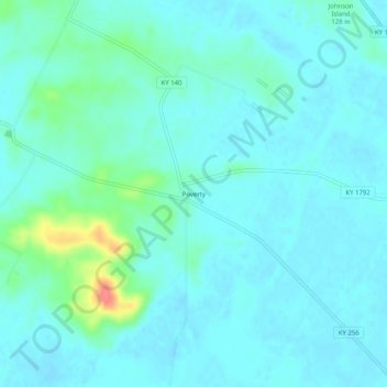
Name: Poverty topographic map, elevation, terrain.
Location: Poverty, McLean County, Kentucky, USA (37.55088 -87.34111 37.59088 -87.30111)
Average elevation: 404 ft
Minimum elevation: 371 ft
Maximum elevation: 577 ft