
Louma topographic map
Interactive map
Click on the map to display elevation.
About this map
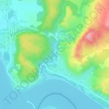
Name: Louma topographic map, elevation, terrain.
Location: Louma, Mobaye, Basse-Kotto, Central African Republic (4.31605 21.18684 4.32565 21.19093)
Average elevation: 1,394 ft
Minimum elevation: 1,237 ft
Maximum elevation: 1,762 ft