
Chouf topographic map
Interactive map
Click on the map to display elevation.
About this map
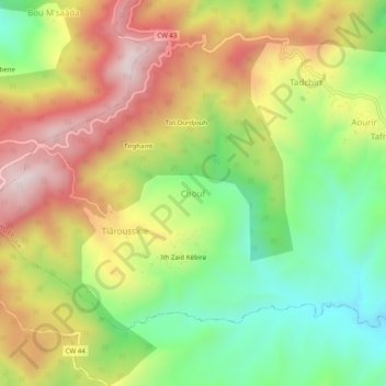
Name: Chouf topographic map, elevation, terrain.
Location: Chouf, Tafreg, Djaâfra District, Bordj Bou Arreridj, Algeria (36.27500 4.67608 36.31500 4.71608)
Average elevation: 3,215 ft
Minimum elevation: 2,241 ft
Maximum elevation: 4,321 ft