
Denman topographic map
Interactive map
Click on the map to display elevation.
About this map
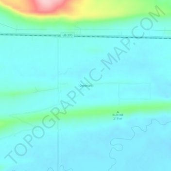
Name: Denman topographic map, elevation, terrain.
Location: Denman, Latimer County, Oklahoma, United States (34.91788 -95.04524 34.95788 -95.00524)
Average elevation: 597 ft
Minimum elevation: 505 ft
Maximum elevation: 1,119 ft