
Ridleywood topographic map
Interactive map
Click on the map to display elevation.
About this map
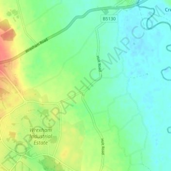
Name: Ridleywood topographic map, elevation, terrain.
Location: Ridleywood, Holt, Wrexham, Wales, LL13 9US, United Kingdom (53.03549 -2.92208 53.07549 -2.88208)
Average elevation: 75 ft
Minimum elevation: 23 ft
Maximum elevation: 180 ft