
Khan uul topographic map
Interactive map
Click on the map to display elevation.
About this map
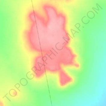
Name: Khan uul topographic map, elevation, terrain.
Location: Khan uul, Gurvansaihan, Dundgovi, Mongolia (45.51985 106.55146 45.51995 106.55156)
Average elevation: 4,754 ft
Minimum elevation: 4,541 ft
Maximum elevation: 4,948 ft