
Bittinger topographic map
Interactive map
Click on the map to display elevation.
About this map
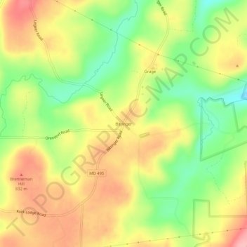
Name: Bittinger topographic map, elevation, terrain.
Location: Bittinger, Garrett County, Maryland, 21522, USA (39.58231 -79.24337 39.62231 -79.20337)
Average elevation: 2,598 ft
Minimum elevation: 2,365 ft
Maximum elevation: 2,822 ft