
Old Colton topographic map
Interactive map
Click on the map to display elevation.
About this map
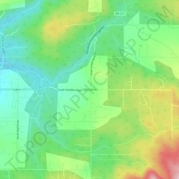
Name: Old Colton topographic map, elevation, terrain.
Location: Old Colton, Clackamas County, Oregon, 97017, USA (45.15207 -122.43481 45.19207 -122.39481)
Average elevation: 876 ft
Minimum elevation: 561 ft
Maximum elevation: 1,463 ft