
Olanchito topographic map
Interactive map
Click on the map to display elevation.
About this map
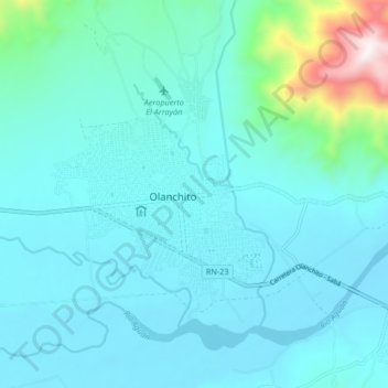
Name: Olanchito topographic map, elevation, terrain.
Location: Olanchito, Yoro, Honduras (15.44407 -86.60789 15.52407 -86.52789)
Average elevation: 774 ft
Minimum elevation: 354 ft
Maximum elevation: 3,691 ft