
Miahuatlán topographic map
Interactive map
Click on the map to display elevation.
About this map
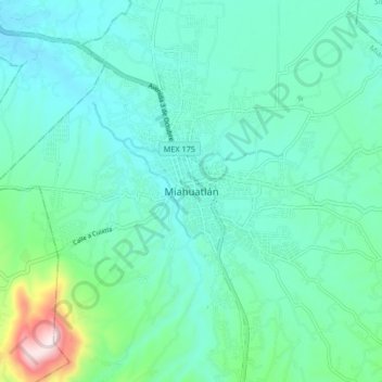
Name: Miahuatlán topographic map, elevation, terrain.
Location: Miahuatlán, Miahuatlán de Porfirio Díaz, Oaxaca, México (16.28847 -96.63496 16.36847 -96.55496)
Average elevation: 5,266 ft
Minimum elevation: 4,934 ft
Maximum elevation: 6,775 ft